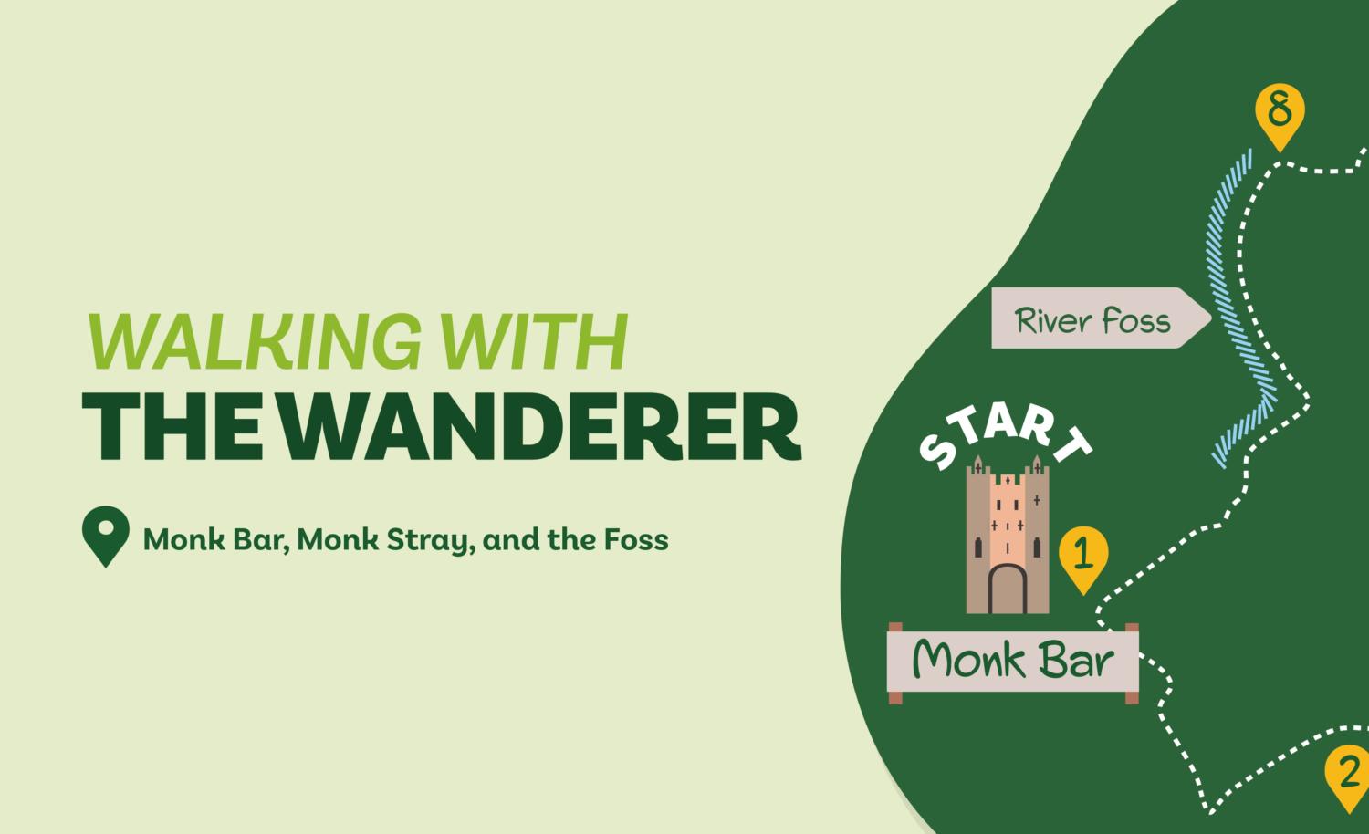
Starting from the city centre, this walk explores the rural fringes of York’s northeastern suburbs. It includes a cycle track, an ancient bridleway, the little frequented far end of Monk Stray, and two stretches alongside the River Foss.
Monk Bar, Monk Stray, and the Foss
Starting from the city centre, this walk explores the rural fringes of York’s northeastern suburbs. It includes a cycle track, an ancient bridleway, the little frequented far end of Monk Stray, and two stretches alongside the River Foss.
Is this walk for me?
There’s nothing challenging or strenuous about this walk. There are no climbs or stiles but there may be mud, especially on Monk Stray. Care needs to be taken crossing busy Stockton Lane (Direction Point 6) and when walking alongside the Foss.
Getting there
The recommended starting point is Monk Bar. The nearest bus stop with frequent services is Peaseholme Green. It is also possible to start the walk at other points where parking may be available, for example, Tang Hall near the cycle track or Heworth near the Stray.
Refreshments
While there are numerous opportunities when leaving or returning to the city centre there are no refreshment facilities directly en route.
What to see
There’s lots of variety on this walk. The cycle track offers a pleasant and easy stroll and can be used to access St Nicholas’ Field nature reserve. The bridleway from Bad Bargain Lane is one of the most unspoiled tracks of its type near York. Monk Stray provides a green route back towards the city centre. On the last leg, beside the river, the walk traverses ‘The Foss Fairy Trail’, a little-known York curiosity. See www.fossfairytrail.com to find out more.
Download your map
Directions
1. Starting from the city centre side of Monk Bar ascend the steps right of the gateway and walk along the wall. Continue until the wall ends at Peaseholme Green. Turn right and walk past St Cuthbert’s Church. Cross the road and go left between the Black Swan and the Hiscox Building. At the end dogleg left then immediately right following signs to Walmgate Bar/Red Tower. Cross the bridge turning immediately left down steps alongside the river. At the road, cross the pedestrian lights, then turn right over the T-junction to head left, passing bus stops with Morrisons on the left. At the traffic lights, cross straight over and take the cycle path opposite (route 658 Tang Hall).
2. Follow this over a bridge, keeping right at a junction (signed Tang Hall). Now continue on the cycle track for over a mile, ignoring all ways off and passing under two bridges. Keep going through the new Derwenthorpe development until the track ends at the blue barrier.
3. Turn left here (signed Meadlands), keeping to the pedestrian path on the right between hedges. Go left at a kissing gate then turn right at a road. At a T-junction in a further few metres go right (signed Monks Cross). Continue on the curving street to a further T-junction.
4. Turn right, with houses left and fields right. Keep ahead at a dead-end sign on the lane between hedges. Continue in the same direction ignoring a footpath right. Where the tarmac ends go straight on beyond a metal barrier. Ignore a track on the right, eventually going under pylons and passing another metal barrier. At buildings on the right and just before the track begins to slope upwards go left on a signed bridleway turning almost immediately right with the surfaced track.
5. Where this track turns 90 degrees left, go through a wooden gate and take the signed fenced path with the drive left and field right. At a further gate, continue on the fenced path passing farm buildings left. At the next gate, join the access track keeping ahead with a hedge right and fence on left.
6. At the road, turn right and walk with care along the narrow verge for 30 metres, then cross to take the signed footpath opposite. Keep alongside the hedge, then cross a bridge. About 20 metres beyond this, go through the kissing gate to the left onto Monk Stray. Initially walk near the hedge to the left but then follow the line of telegraph poles that lead to a kissing gate. Through this, continue in the same direction still close to the telegraph poles, to another gate. Keep ahead with the telegraph poles. After the Stray narrows, keep near the hedge/access track (no longer following the poles). Reach a wooden gate and a track to continue on the Stray with houses left. Cross a tarmac path, eventually arriving at a road. Here, turn right to reach the main road in 75 metres.
7. Go left, then cross at pedestrian lights before turning right into Muncastergate. Continue past the golf clubhouse along the suburban street going left at the end through the barrier. At a junction, turn right keeping ahead in 100 metres then go over the road at a zebra crossing. 20 metres beyond this, turn left at a gate down steps.
8. Walk ahead on the grass keeping close to the river Foss on the right. Nearing the large metal bridge ahead, go right through bushes to walk ahead beside the river. Where the path splits stay by the river as it bends right. Keep going alongside the water as the path becomes tarmac and reaches the road by Monk Bridge. Go right, then over the roundabout down Monkgate to return to Monk Bar.
Disclaimer: Walks are undertaken at your own risk. Due care must be taken in following the walk, particularly after poor weather. Whilst every care is taken in compiling the description, some changes may have occurred since publication. Neither the walk author nor Your Local Link can accept any responsibility for any errors or omissions.


Add a comment