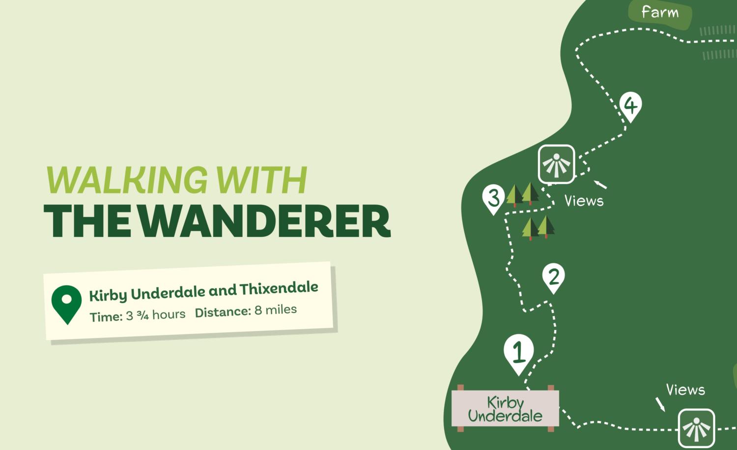
Kirby Underdale and Thixendale
Time: 3 3/4 hours Distance: 8 miles
A classic Wolds walk, this route connects two remote villages via hillsides with far-reaching views and deep enclosed valleys.
Is this walk for me?
This is a fairly challenging walk. There are two big climbs, steady and long rather than steep plus a number of lesser ups and downs. Overall surfaces are good but there are some muddy areas. With a few exceptions, the route is well waymarked. Cattle may be grazing in some of the valleys. There are four stretches of road walking, all but one with virtually no traffic.
Getting there
The recommended starting point is Kirby Underdale church. There is limited roadside parking here plus other opportunities on the village street. Kirby Underdale is 15 miles from York via the A166 through Stamford Bridge. It’s also possible to start from Thixendale where roadside parking is available. There are no public transport options to either village.
Refreshments
None are available as the pub at Thixendale is currently closed.
What to see
Kirby Underdale is one of the most attractive East Riding villages nestling at the bottom of the Wolds. The church has much of interest including a Roman carving set in the wall. While architecturally less appealing, Thixendale sits in a deep hollow at the intersection of several valleys. The walk traverses several typical Wolds dry valleys. The hillsides above Kirby Underdale provide far-reaching views. The area is rich in wildlife, the gallery of renowned naturalist and artist Robert Fuller is just off route. Four hares and numerous kites were spotted when the walk was checked.
Download your map below
Directions
1. At the church entrance, take the signed footpath over grass walking near the stream. Cross the bridge and go up a bank to a gate. Through this, go half left as signed towards a tree then follow the fence/hedge down into a dip. Cross another bridge guarded by gates, then go slightly left across the field heading towards prominent trees left of the buildings to a gate.
2. Turn left on the road downhill, but in 200 metres, turn off right on a track signed ‘Woodley Farmhouse’. Remain on this as it curves downhill and then rises after a stream. Where the track goes sharp right, keep ahead going through a gate into a grass field. Head straight across to another gate.
3. Immediately after this gate, turn sharp right walking uphill adjacent to the hedge. Keep climbing, passing trees/houses to the right to reach the right corner of the large hillside field. Turn left, but in 150 metres by a prominent tree, leave the field through a gate on the right to head uphill alongside a wood on the left. Go through a further gate continuing in the same direction with trees on the right. After another gate, do not go ahead, but turn left along the hedge to the left corner of the field. Here, turn right uphill with the hedge left, continuing to a road.
4. Turn left on the road for 600 metres until a track on the right (‘Thixendale Grange’). Follow the track downhill passing houses on the left. Where the track turns left into the farm, go right through a gate on a grassy track. In 40 metres, where this divides, go left into the valley bottom. Now continue in the valley passing through several gates to eventually arrive at a lone signpost. Here, go right to reach a road near a house. Continue ahead (right) into Thixendale.
5. Walk through the village ignoring all roads/paths off. After a no-through road on the left, continue to a T- junction at the edge of the village. Turn right keeping on the valley bottom road (Wolds Way) ignoring two roads leading left.
6. After 700 metres, at a prominent sign, turn left off the road over the valley bottom field on a track. Go through the gate keeping on the track with a grassy slope left. Where the track fades keep going in the valley bottom through a gate. Follow the valley as it curves right walking alongside a row of trees. Through a further gate, curve left then right to reach a four-way signpost.
7. Here, veer half right toward the side valley soon going through a gate/stile. Continue up the grassy, gradually steepening valley. At a sign, go left as indicated up the slope. Reaching two gates, go through the one to the right turning immediately left alongside the hedge with the field to the right. At the field corner, go half left for 50 metres to a track. Follow this as it curves right then heads across open fields to eventually pass a farm and reach a road.
8. Turn left, but in 250 metres go right (signed Kirby Underdale). Continue on this quiet road downhill for about 1000 metres until it bends right by buildings. Here, go ahead (no through road sign). Go through a gate, but in 30 metres take a grassy enclosed track right of the house. As the track turns left go through a gate on the right to follow a faint path across a field to a gate. At the road turn left to return to Kirby Underdale church.
Disclaimer Walks are undertaken at your own risk. Due care must be taken in following the walk, particularly after poor weather. Whilst every care is taken in compiling the description changes may have occurred since publication. Neither the walk author nor Your Local Link can accept any responsibility for errors or omissions.


Add a comment