By Tony Chalcraft
Melbourne and the Pocklington Canal
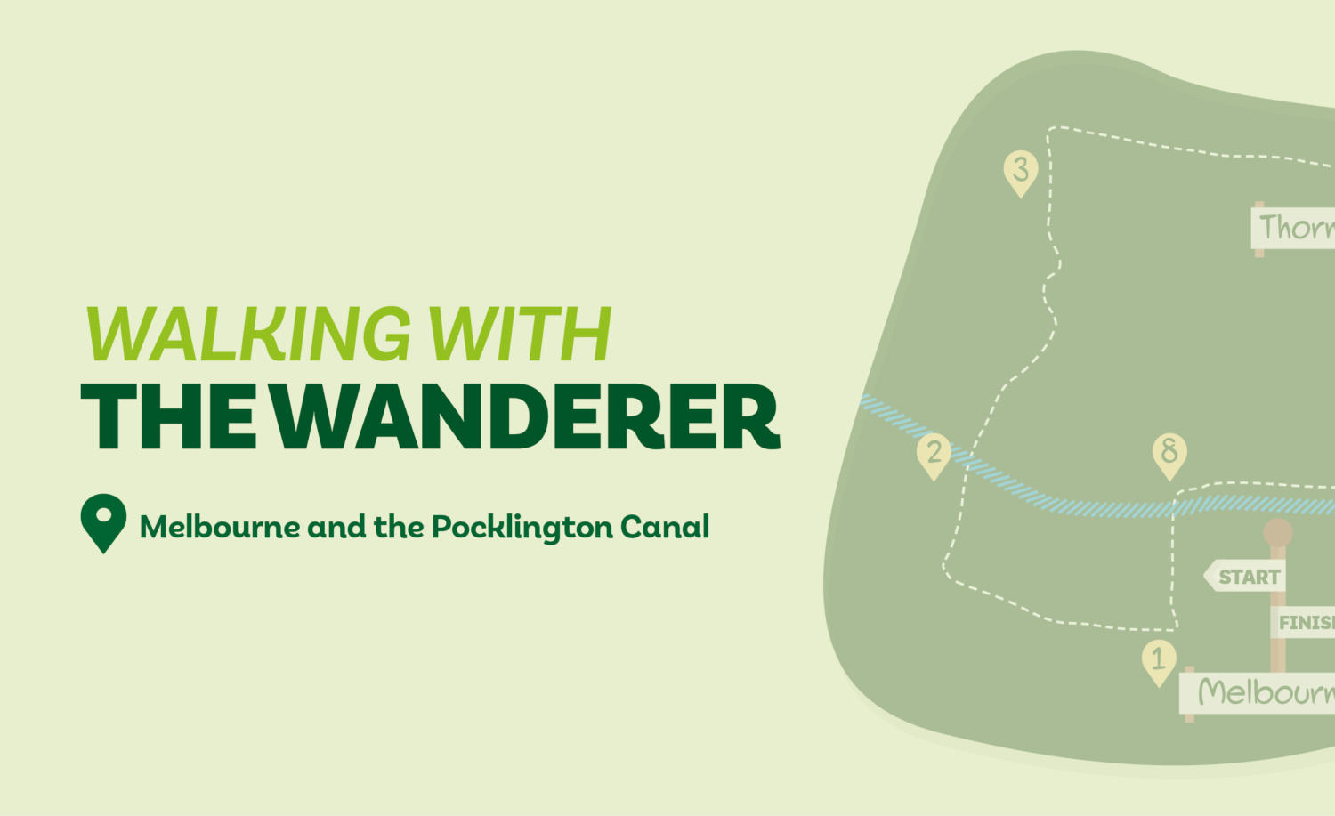
Starting from Melbourne this walk takes tracks and quiet lanes before following the Pocklington Canal. There is an option to shorten the walk to less than three miles.
Is This Walk For Me?
This easy walk traverses the flat countryside around Melbourne. Nearly half of it follows the Pocklington Canal on the largely grassy towpath. Much of the remainder is on tarmac lanes where, apart from one short stretch of about 150 metres on a busy section, there’s virtually no traffic. The rest of the walk is on paths and farm tracks. There are no stiles to cross. While the route should not be overly muddy at any time of year, sections, can be flooded in winter.
Getting There
Melbourne is just over 12 miles from York via the A1079 and B1228, then keeping ahead to the village at Rossmoor Garage. There is ample roadside parking in Melbourne near the Melbourne Arms pub. Unfortunately, there is no viable public transport option for this walk. It is also possible to begin the walk from Thornton where there is roadside parking.
Refreshments
The only option is the Melbourne Arms in Melbourne. The pub currently seems to be open from 5pm daily and at lunchtime from Friday to Sunday.
What To See
The partly navigable Pocklington Canal is rich in wildlife. Sections of it, and some of the surrounding lowland meadows, are part of the Lower Derwent National Nature Reserve. The meadow areas contain a rich flora and in winter are frequented by various migrant birds. There are interpretation boards along the canal that give information on various features including bridges and locks. The straggly village of Melbourne has a few interesting buildings as does Thornton.
FREE printable map
Directions
1. With the pub behind you go right along the main street, continuing to pass the village hall on the left and the school to the right. Just beyond a road sign and seat at the junction with Kidd Lane to the left take a track to the right (footpath sign) between gardens. Follow the track to a bridge over the canal.
2. Cross the bridge ignoring the towpath alongside the canal to keep straight ahead on a grassy path into the field walking towards, then beside, with a line of bushes to the right. Climb a bank and go over a wooden footbridge. Follow the path over the corner of a grassy field to continue with the boundary to the right. Pass through a kissing gate then walk left for ten metres to the field corner. Turn right for 50 metres then turn left on a track over a field. Stay on this track as it curves, soon with a fence to the left then a grassy/treed area to the right, to eventually arrive at a narrow tarmac lane.
3. Ignore the footpath opposite and turn right on the lane which is a dead end and so carries little traffic. Now remain on the lane until it is joined by a wider road from the left on the edge of Thornton village. Keep ahead here on the main street to reach a small green by the church.
4. Ignore the road right by the church continuing ahead for about a kilometre on the quiet road. (For the short walk turn right at the church (Church Road) following it to the canal bridge just beyond Thornton Lock (Direction Point 7) at which turn right to continue on the main walk).
5. Just after a pylon on the right turn off the road onto an even quieter road (Sand Lane). Continue on this road for about 350 metres to a T-junction. Turn left proceeding with care along this busier road for about 150 metres to a track with a footpath sign leading to Woodhouse Farm.
6. Follow the track to the farm but approaching the house do not go into the garden but turn left with the garden/trees to the right. At the end of the trees in 50 metres go ahead on an earth track across an open field. Continue through the next field to the canal bridge.
7. Do not cross the bridge but take the grassy path right alongside the canal which is now followed most of the way back to Melbourne. In more detail: about a kilometre after joining the canal stay by the water going under a road bridge; pass Thornton lock, soon after which go under a further road bridge; continue for a further 600 metres to a swing bridge.
8. Go over the swing bridge and take the track ahead with the short Melbourne arm of the canal and boats to the left. Remain on the track to reach the road in Melbourne with the starting point pub to the left.
Disclaimer: Walks are undertaken at your own risk. Due care must be taken in following the walk, particularly after poor weather. Whilst every care is taken in compiling the description, some changes may have occurred since publication. Neither the walk author nor Your Local Link can accept any responsibility for any errors or omissions.


Add a comment