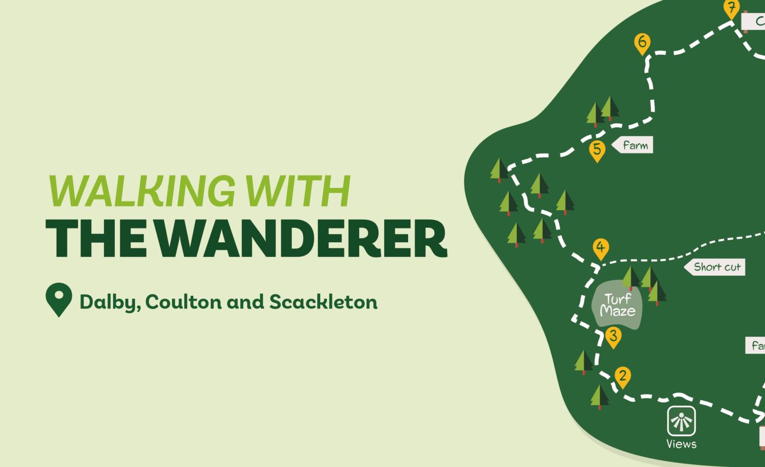
Starting from Dalby Church (nowhere near Dalby Forest!) this walk explores the quiet and remote Howardian Hills countryside. It offers a mix of woods and farmland, three secluded villages, and far reaching views.
Is this walk for me?
This is an undulating walk. There’s a long haul to Scackleton on a road and several shorter but steep ascents and descents in fields and woods. Generally, paths are well-waymarked, accessed through gates, and, with a few exceptions, not too mud prone. Horses and cattle may be grazing in some fields.
Getting there
The recommended starting point is opposite Dalby Church where there is a small parking area. It’s also possible to start in Coulton and Scackleton parking on the roadside. Dalby Church is accessed from York via Strensall and Sheriff Hutton. At the top of Terrington Bank go left, left (ahead) again in 150 metres then drive down and up steep slopes to take a small road on the left (signed church). This walk isn’t accessible by public transport.
Refreshments
No options en route. Yorkshire Lavender towards Terrington has a tearoom open in season. Terrington Village has a shop and cafe. Cafes and a pub are available slightly further away in Hovingham.
What to see
Dalby Church is of ancient foundation and has an unusual crenellated tower. The City of Troy turf maze, one of only eight in the UK and said to be the smallest in Europe, may or may not be of ancient origin (see more at www.worldwidewriter.co.uk/city-of-troy-dalby-turf-maze.html). There’s much wildlife in the woods and valleys and long views over the Vale of York and towards Ampleforth and its abbey from Scackleton’s viewpoint.
Directions
1. Facing Dalby Church at the parking area go right on the narrow road. Ignore a footpath left beyond the house and continue on the road that carries virtually no traffic for about a kilometre to a T-junction by a house.
2. Turn right uphill, but in about 150 metres take the signed footpath left into trees. Where this divides in 50 metres, take the right fork following the narrow path as it curves through the wood. At the field, go right alongside the wood. Where the wood ends, keep ahead over a cultivated strip to a road.
3. Turn left on the road passing the City of Troy maze to the right. At the edge of trees to the left, turn right (bridleway sign). Continue for over 300 metres to a three-way signpost,at which go left (Mugdale). (For a shortcut, turn right and keep going on the track which becomes a paved road. At a junction turn right continuing through Scackleton to Direction Point 8).
4. Walk gradually downhill with bushes on the left. Continue as the path descends more steeply into a wooded area. Ignore private paths right walking through the valley to reach a tarmac track. Here turn right over the ornamental bridge but then go immediately left on a waymarked path into conifer trees. Climb steeply. At the top keep ahead with a broken wall right. Watch for a metal gate on the right at which leave the bridleway following the signed footpath between high hedges. Where this meets a tarmac track do not go ahead but take the way-marked kissing gate into a paddock walking directly ahead to a gate between a house and buildings. Go through the gate and cross the tarmac to another gate.
5. Walk down the steep slope to a further gate leading into a wood. Go through and curve right on the narrow path to a bridge and further gate. Beyond, head half-right up the slope to another gate. Do not go through but turn sharp right, as signed, along the top of the slope. In about 200 metres, descend slightly to a gate. Go through and take the left-signed path crossing the field bottom to a gate beyond the buildings. Climb steps to a gate. Enter the field and turn left aiming to the right of the corner but left of farm buildings. Find the gate then walk ahead on the surfaced track.
6. About 250 metres along the track take the signed footpath (Coulton) into a field. Follow the hedge on the right but just beyond a prominent tree head slightly left towards a telegraph pole (the route was demarcated by an earth strip at the time of writing). From the pole, keep ahead then, approaching the field end, go left to a gate between two trees. Through, go straight ahead towards a large tree behind which is a gate giving access to a road.
7. Turn right on the road following it out of Coulton downhill. The walk now continues on this quiet road for over a mile passing Coulton Mill in the valley before climbing to Scackleton.
8. Walk through most of the village. Opposite the church on the left, take the tarmac lane right (Low Moor Farm). Remain on this lane ignoring a footpath left after which the track becomes rougher- surfaced. Soon after this do not go left into the farm but continue ahead with a hedge right. At the next divide keep ahead on a grassy track. At the farm pass the house then turn immediately left in front of a barn following a fence right to a bridge.
9. Cross and go into the field (often muddy) and head slightly right following the line of telegraph poles towards gates. Go through and head uphill with a hedge/fence left. At the road turn left but in 50 metres turn right on a smaller road. Follow this as it turns sharp right back to the parking area.
Disclaimer: Walks are undertaken at your own risk. Due care must be taken in following the walk, particularly after poor weather. Whilst every care is taken in compiling the description, some changes may have occurred since publication. Neither the walk author nor Your Local Link can accept any responsibility for any errors or omissions.


Add a comment