Starting just north of York’s city centre, this walk of about six miles offers a tour of some of York’s lesser-known green spaces. After following the River Foss upstream for about two miles, it takes field paths to Bootham Stray, the least well-known of the city’s four strays. Exploring the stray on both sides of Wigginton Road, the route then ventures into the under-appreciated Clifton Backies, a local nature reserve. A short stretch on streets follows before the final stretch heads along a traffic-free cycle route. Some sections of this route, especially alongside the Foss at the start and on the way to Bootham Stray, may be very muddy. Appropriate footwear is essential.
Getting there
The recommended starting point is the roundabout at the junction of Haxby Road and Haley’s Terrace near the Joseph Rowntree Theatre.
If driving, limited roadside parking is available on nearby streets. Alternative starting points include the Link Road bridge at New Earswick and the Wigginton Road/Crichton Avenue junction. The recommended starting point is easily reached by bus from the city centre, both routes 1 and 5 stopping on Haxby Road opposite the Joseph Rowntree Theatre. Bus 1 also serves New Earswick while Crichton Avenue can be reached by bus route 6.
Refreshments
For light refreshments on the route, there’s the Hound Lounge at Station Avenue New Earswick (closed Mon. and Wed.) and The Coffee House on Crichton Avenue. Slightly off route is the café at New Earswick Folk Hall and the Blacksmith’s Arms in Huntington village.
What to see
A surprising amount of wildlife can be seen on the Foss. For more information, see The River Foss Society website (www.riverfosssociety.co.uk/wildlife-on-the-foss-2/). Bootham Stray is mainly open grassland with a remote feel. The section west of Wigginton Road is more enclosed and diverse with new tree plantings and hedgerows. Clifton Backies nature reserve was formerly part of Clifton Airfield. It contains a diverse range of habitats and is one of the best nature sites near the city centre. More information can be found at
www.cliftonbackies.org.uk.
Directions
Starting from Haxby Road at the roundabout with the Nestle complex behind you cross into Haley’s Terrace but immediately go left down a short track between railings by the entrance to Yearsley Swimming Pool. This quickly leads to the Foss. Here turn left alongside the river. Continue along this path, which can be very muddy at first, for about a kilometre to a footbridge across the river. Do not cross this but continue with the river to the right. About 400 metres beyond the bridge the path leads out onto Haxby Road accessed through a gap in some railings.
Turn right on the pavement but after a short distance, by a ‘Welcome to New Earswick’ sign, go right passing a white house on the left to re-join an arm of the Foss. Continue, going under a road bridge (Link Road, an alternative starting point) and keeping by the river with houses and garages to the left. At the next bridge (Station Avenue, Hound Lounge café to the right) keep on the left side of the river. Briefly join the adjacent road before again following the riverside path with a grassy area on the left. Pass a small pond and go through a kissing gate into a large riverside field. Keep by the river on a slightly raised bank following the Foss as it loops left to another kissing gate. Go through this and continue with a wooden fence to the left to arrive at a tarmac lane and a bridge across the river.

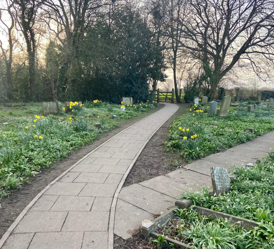
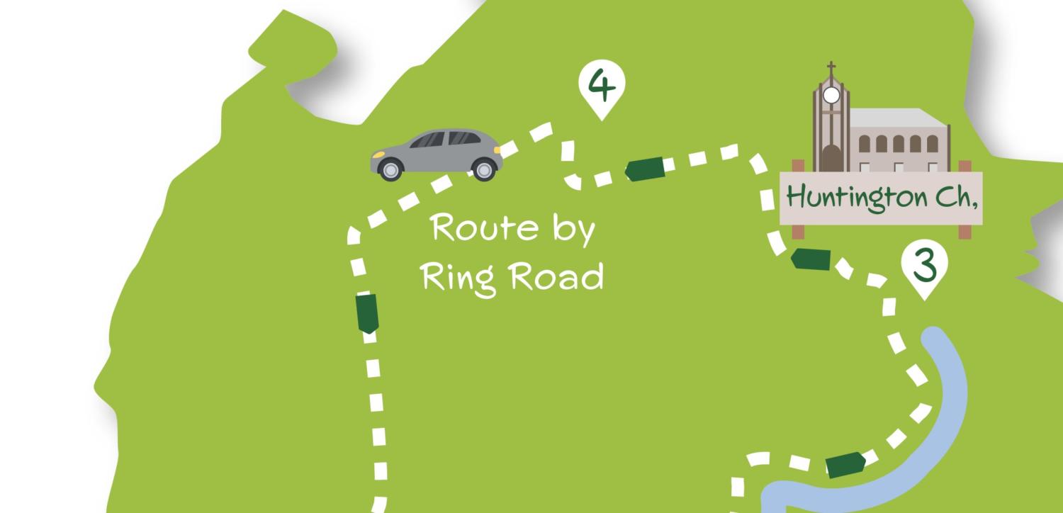
Turn left on the lane ignoring the bridleway sign to the right to go ahead into the churchyard of Huntington Church. Keep the church on the right and follow the path through the churchyard to a wooden gate. Through this go ahead on the track with a wall to the left. Quickly arrive at a signed path junction turning right on a fenced track between fields. At a signed junction, in about 250 metres, turn left on a fenced/hedged path soon with a playing field to the left. Where this path meets the road, cross and go right along the pavement towards the underpass ahead.
Do not go through the underpass but instead turn left up the signed cycle/footpath parallel to the ring road. Cross over the railway and descend the slope. Where this levels, look out for a kissing gate on the left. Go through this to continue along the edge of the field with a hedge to the right. Go into the next field passing a redundant kissing gate initially staying by the hedge (ignore a railway crossing to the left). Nearing the end of the field go to the left to find a stile in the corner alongside the railway line. After crossing the stile, continue ahead alongside the railway to the left. The route can now be muddy and wet in places. Pass through several kissing gates and by a field of tall miscanthus grass on the right to eventually enter grassy Bootham Stray. Keep the railway line on the left until reaching a shallow ditch and hedge running across to the right with a few isolated trees visible in the grass beyond. Here veer right away from the railway heading just to the right of the trees. A grass track coming from a railway crossing on the left will soon be seen. Take this right to a gate in the hedge by a road.
Cross straight over the road (Wigginton Road) and go through the kissing gate opposite. Cross the field heading towards a gap in the hedge. In the next field do not go right on a faint grassy track towards buildings but head slightly left over the grass towards a gate in the bush line. Go through the gate, entering Clifton Backies, and follow the hard-surfaced path as it leads through scrubby trees. Ignore all ways off, soon passing an open grassy area on the left to a crossing tarmac cycle/footpath. Turn left here following the tarmac to a street accessed through a gap in metal railings. Go down the street to the roundabout and go straight across into Crichton Avenue passing shops to the right. Head up over the railway to approach traffic lights at the junction with Wigginton Road.
Just before the lights take the signed path on the right going down steps by blue barriers to the cycle track. Go left, under the bridge and continue on the trail. Approaching the next bridge go left up the slope signed ‘Haxby Road North’ to join Haxby Road. Turn left here for 200 metres back to the recommended starting point at the roundabout with Haley’s Terrace.


Add a comment